Description fournie par l'éditeur :
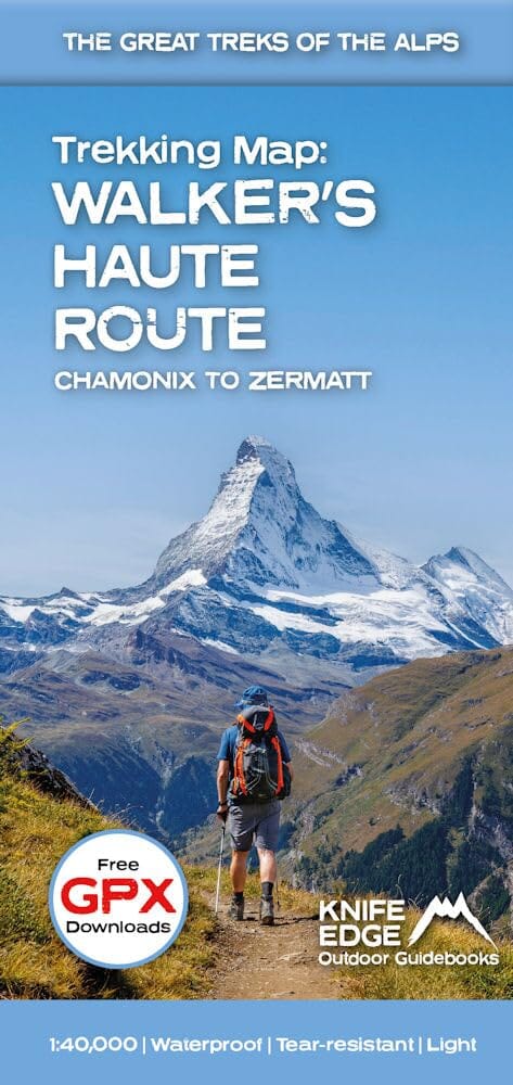
The best sheet map for the Walker's Haute Route: Chamonix to Zermatt. This is the only map available that displays the entire route and numerous variants on a single sheet: perfect for planning and navigation. 1:40,000 - larger scale and more detail than any other map.
1:10,000: for select areas where navigation is challenging.
Made specifically for the Walker's Haute Route by Knife Edge Outdoor Guidebooks:
- English/French/German map key
- 1:40,000/1:10,000
- Numerous variants
- Includes free GPX downloads for the trail
- GPS compatible
- Tougher than traditional maps: try to tear me!
- More water-resistant than traditional maps
- Lighter than traditional maps
- Huts/accommodation marked on the map
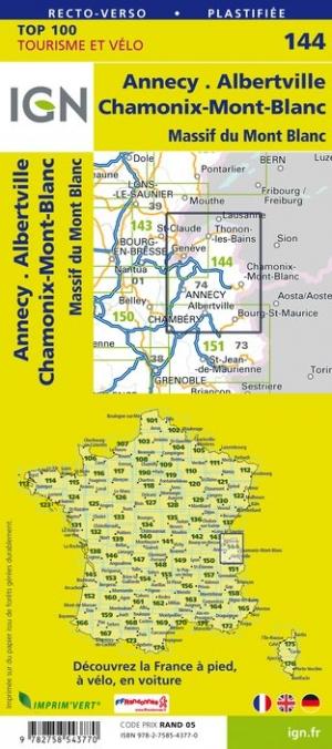
The Walker's Haute Route is an incredible trek between the two most famous mountain towns in the Alps. Travelling from Chamonix in France to Zermatt in Switzerland, you will start at Mont Blanc and finish at the Matterhorn. On the way, pass the largest collection of snowy 4000m summits in the Alps: Mont Blanc, Grand Combin, the Weisshorn, the Zinalrothorn, the Dom, the Täschhorn, the Breithorn and the Matterhorn, to name a few. The sister trek to the Tour du Mont Blanc crosses unspoilt and remote mountain terrain: amazing glaciers, snow frosted summits, beautiful valleys and pastures, shimmering lakes, carpets of wild flowers and the soothing sound of cow bells. This trek should be on your hiking bucket list.
- 206km
- 10-14 days
- 14,000m of altitude gain
- 12 mountain passes
- 2 countries: France and Switzerland